
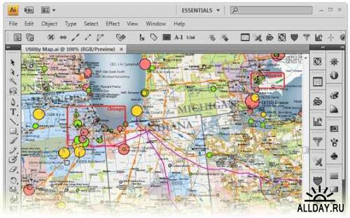
MAPublisher — плагин для Adobe Illustrator, который является мощным средством создания карт высокого качества по ГИС-данным. Новая версия предоставляет пользователям расширенные возможности для создания карт высококачественного дизайна на основе GIS данных для их распространения в печатном или цифровом виде. В новой версии обеспечена поддержка Adobe Illustrator CS5, новой палитры MAP Views, системы символов и стилей Adobe Illustrator, а также операций импорта/экспорта новых форматов картографических данных. Плагин MAPublisher включает всю функциональность предыдущих выпусков: новые механизмы маркировки, новую сетку, генератор координат и ползунок масштабирования, расширенные фильтры для выбора.
Новые функции программы:
* Информация, поступающая с GPS-приемника, автоматически наносится и стилизуется на любой план в Adobe Illustrator.
* Возможен захват данных в реальном времени с GPS приемника по USB или Bluetooth.
* Улучшены фильтры выбора.
* Улучшены инструменты для соединения линий.
* Улучшен инструмент определения положения на карте.
* Подсветка объектов карты при выборе в окне атрибутов карты.
* Функция масштабирования картографических символов.
* Функция маркирования сеток UTM.
* Поддержка символов Unicode.
* Улучшение быстродействия.
* Улучшение легкости использования.
Toronto, ON, May 18, 2010 — Avenza Systems Inc., producers of MAPublisher cartographic software for Adobe Illustrator and Geographic Imager spatial tools for Adobe Photoshop, is pleased to announce the release of MAPublisher 8.3 for Adobe Illustrator. MAPublisher 8.3 is the latest version of this powerful mapmaking software used to produce high quality maps from GIS data for both print and electronic distribution which now offers support for the new version of Adobe Illustrator, CS5.
MAPublisher 8.3 for Adobe Illustrator is a full product upgrade that is free of charge to all current MAPublisher Maintenance Program subscribers and replaces the current shipping version of MAPublisher, version 8.2, for all new customers using Adobe Illustrator CS3, CS4 and CS5.
«We have once again listened to the requests of our users and implemented a host of new features with MAPublisher 8.3,” said Ted Florence, President of Avenza, “In addition to support for Illustrator CS5, this new and exciting MAPublisher version now offers the ability to transfer map objects between documents, automatically create knockouts for text objects, and contains an enhanced MAP Web Author javascript API and dozens of other features which together significantly advance this powerful and widely used cartographic and map-design platform.” he added.
MAPublisher 8.3 includes all the significant functionality introduced in earlier releases of MAPublisher as well as the following new features and enhancements.
New Features of MAPublisher 8.3 for Adobe Illustrator
* Compatibility with Adobe Illustrator CS5 for both Mac and Windows
* New Line Plotter function to create polylines by entering coordinates or the distance and bearing values between points
* Import MAP Objects to copy MAP objects between documents, including Stylesheets and MAP Selections
* Enhanced MAP Selection functionality offering additional selection options including spatial, art and attribute
* New knockout function for easily creating knockouts for text objects
* Buffer Art function to create area objects around points and lines
* MAP Attribute Panel enhancements and optimizations
* New Layer Notes functionality to record information including original dataset path, format, co-ordinate system, object count and date
* Enhanced export to Geospatial PDF functionality now offers control over exported layers with attributes, ability to easily assign attribute values to be used as object names, item sort order and round-trip data control
* MAPublisher Spatial Database import system for ESRI geodatabases now included (Windows only)
* New MAPublisher Web Author javascript API functionality including various runtime operations
* New functionality to create MAP Views from Adobe Photoshop paths (Geographic Imager license required)
* Various other user interface improvements and performance enhancements to improve usability
В архиве также содержится руководство пользователя.
Операционная система: Windows XP/Vista/ 7 and Adobe Illustrator CS3, CS4 or CS5
Язык интерфейса: Английский
Размер: 168.09 MB (Лекарство в архиве)
Скачать с Depositfiles.com
Скачать с Letitbit.net
Скачать с Vip-file.com
Скачать с Turbobit.net
Скачать с Ifolder.ru